
Walk a Sierra Vista Street
A Sierra Vista street directory search should move from the street string to a stable land key. The Cochise County Assessor accepts a number range, street, and city. Each useful hit supplies an assessor parcel number, or APN. GIS then places the parcel on the map and separates the situs address, meaning the physical property location, from the mailing address used for tax notices. Those two fields may match, but neither identifies every person connected with the site.
Once the right parcel is clear, change the search key. Recorded deeds are organized through party names and legal descriptions rather than a street list. Sierra Vista permit reports are searched as address evidence. Old directories or census records can add household context for selected years. The process is precise because each step carries a key into the next system.
- Enter an address range, street, and Sierra Vista in the Assessor inquiry. Save every relevant APN.
- Open each APN in Cochise GIS. Compare the situs, owner mailing field, legal text, and mapped boundaries.
- Search the assessed owner as a grantee in the Recorder index. Confirm a candidate deed with the legal description.
- Review the Treasurer tax record and Sierra Vista permit reports for address-linked dates and parcel facts.
- For past occupants, consult the verified regional directory years and census schedules without assuming continuous coverage.
Note: Preserve the date of every parcel export because ownership, values, permit history, and online portal fields can change.
Sierra Vista Street Search Fields
The Cochise County Property Records Inquiry supports both exact-parcel and street-survey work. Use Parcel Number or Account Number when one property is known. For a Sierra Vista street directory scan, combine Address from and to with Street and City. A broad street name can return parcels beyond the intended block, so compare number, city, subdivision, and mapped location before carrying an owner name elsewhere.
| Field | Input type | Street-directory use |
|---|---|---|
| Taxyear From / To | Dropdown pair | Select an available assessment span |
| Parcel or Account Number | Text | Open one exact county account |
| Address from / to, Street | Number range and text | Browse a segment by street |
| City, Property Type, Built As | Dropdowns | Narrow results using live options |
| Owner, Legal | Text | Switch from address to party or legal wording |
| Subdivision, Lot, Block, Section | Text and ranges | Resolve parcels with weak street data |
| Sold on / after and before | Date pair | Limit a known transfer period |
The captured form shows the real fields available to Sierra Vista by-address research.
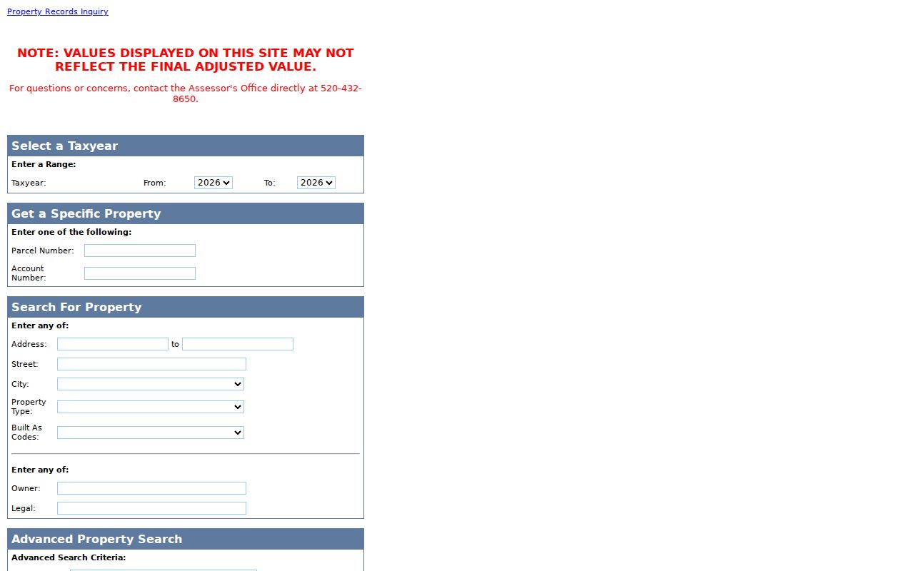
Session-generated dropdown choices were not captured in the research, so the live portal remains the authority for current property-type and built-as options.
Map Sierra Vista Streets in GIS
The Cochise County GIS Parcel Viewer can search an address, APN, owner name, or coordinate. The Sierra Vista parcel result includes APN, account, tax year, situs, owner names, mailing fields, parcel size, use code, legal text, tax area, market area, and coordinates. This is much more than a map pin. APN and legal text connect the map to assessment, tax, and deed records.
Use visible district and land layers to check plats, surveys, roads, zoning, plans, school or special districts, flood hazards, Colonias, and census tracts. Sierra Vista layers explain which public body or land rule touches a property. They do not add resident names. Map clicking is valuable when a street suffix is standardized differently or a vacant or common parcel lacks a useful situs entry.
- Parcel
- A mapped unit of land with a county assessor identifier.
- Situs address
- The physical address assigned to the property.
- Plat
- A recorded map showing lots, blocks, streets, and boundaries.
- Criss-cross directory
- A directory arranged by address for finding a listed householder.
Sierra Vista Address Record Coverage
No single roll completes the Sierra Vista street directory. The Assessor and GIS supply current assessment facts. Treasurer inquiry adds tax and split history. Recorder documents follow title parties. Monthly Sierra Vista permit reports show work at an address. Historical directories can name a householder in a few verified years, while Arizona voter information is controlled by strict purpose limits and is not a public street browser.
| Address source | Keeper | Street evidence | Access path |
|---|---|---|---|
| Property inquiry | Cochise Assessor | Owner, situs, mailing, APN, legal, sales filters | Free web form |
| Parcel map | Cochise GIS | Boundaries, owners, parcel schema, district layers | Free viewer and export |
| Tax inquiry | Cochise Treasurer | Address, city, ZIP, tax and split history | Free search and CSV |
| Recorded documents | Cochise Recorder | Parties, legal description, deeds, liens, plats | Index, office, mail, copies |
| Permit reports | Sierra Vista | Project address, parcel, work, issue date, contractor | Reports, CitizenServe, JustFOIA |
| Printed directories | Arizona libraries | Selected-year household, address, work, phone clues | Digital PDF, shelf, microfilm, ILL |
The chain is strongest when an APN and legal description agree across systems. A street name alone can drift through abbreviation, old place labels, or a missing suffix.
Sierra Vista Mailing Versus Situs
A Sierra Vista owner mailing address and parcel situs answer different questions. A mailing address tells where assessment notices are sent. The situs locates the land. If both match, owner occupancy is possible, but not proven. If they differ, the owner may receive mail elsewhere, but the difference does not identify a person at either place. Two owner names also do not prove a family relationship.
Read each field literally. A residential use code describes assessed use, not current human occupancy. A recent deed proves a recorded title event, not a move date. An owner name may be a trust, estate, or entity. Sierra Vista address results should be labeled as county assessment owners as of the search date, then add household evidence only when another source actually names a household.
| Observation | Supported reading | Do not assume |
|---|---|---|
| Mailing equals situs | Owner receives mail at the parcel | Every owner or occupant lives there |
| Mailing differs | Tax mail goes elsewhere | Who occupies either address |
| Two owner names | Two assessed owners are listed | Their personal relationship |
| Recent deed | A title document was recorded | A household move date |
Trace Sierra Vista Deeds
A Sierra Vista title path at the Recorder begins after the parcel is resolved. Search the current assessment owner as grantee, then confirm the acquisition deed through its subdivision, lot, block, legal description, and timing. Record its grantor, grantee, reception number or book and page, document type, and date. The grantor becomes the next earlier grantee search. Trusts, estates, mergers, and corrective instruments require related documents rather than a guess about a sale.
The Cochise recorded-document portal offers reception number, book-page, document, document name, subdivision, and tract modes.
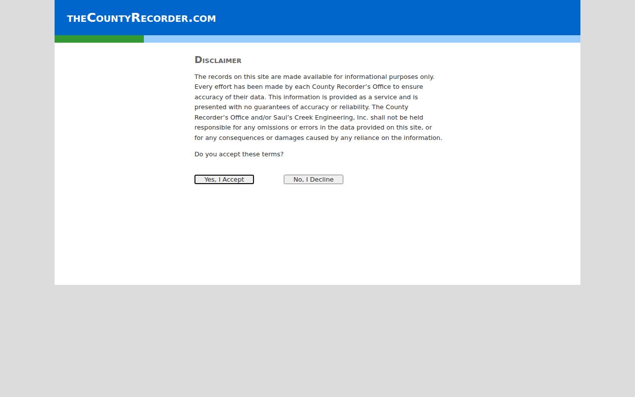
The screen marks the shift from address research to party and legal indexing. Exact online coverage and the complete results field set were not published, so they should not be inferred.
When the portal stops, inspect electronic, paper, or microfilm holdings in Bisbee or send a request with a known citation. The Sierra Vista county counter has a limited selection. Before Cochise County was created on February 1, 1881, search the predecessor Pima County territorial trail.
Sierra Vista Recorder Copy Costs
A street-directory finding in an index is not the instrument itself. The county fee schedule lists basic copies at $1 per page, certification at $3 per document, and a $1 email or mail processing charge. A standard recording costs $30, while a military discharge is recorded without charge. Map-copy prices vary by size. Live fees should be checked before a request because older FAQ language can conflict with the current schedule.
The official Cochise County recording fee page is the source for current amounts.
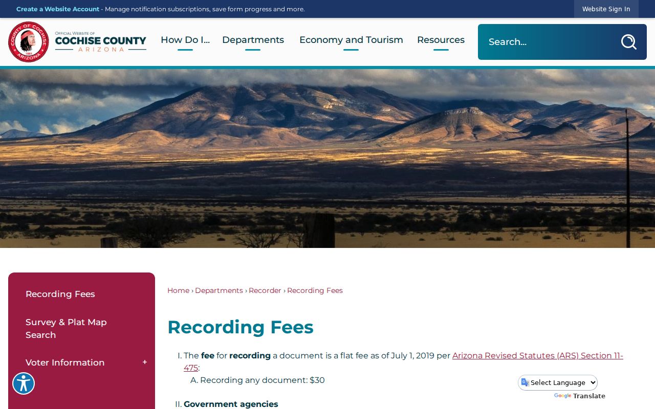
A certified copy verifies the custodian's record. It does not establish who occupied a parcel after the title event.
Note: The Recorder directs the question of current parcel ownership to the Assessor, while title research stays in the grantor and grantee index.
Permits Along Sierra Vista Streets
Sierra Vista monthly permit reports provide address-linked evidence that property rolls do not. Visible fields include permit number, issue date and type, project address, parcel or account ID, valuation, fees, contractor and contractor address, and a work description. Reports were visible from at least August 2023 in the research, while the earliest CitizenServe year was not published. A permit dates authorized work, not a household.
Community Development uses CitizenServe for permits, inspections, planning, and permit-history work. If the desired item is not online, all Sierra Vista public-record requests now route through Sierra Vista JustFOIA. The portal accepts requests at any hour, tracks status, and routes the request to the Sierra Vista department.
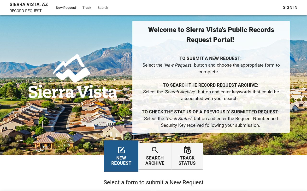
The captured request screen is the fallback for non-online permit, code, license, cemetery, and administrative records. Ask for an existing record by address, parcel, date range, and record type.
Sierra Vista Tax Search by ZIP
The Treasurer Situs Search adds a field the Assessor does not expose: ZIP or postal code. It accepts Address, City, and Zipcode/Postal Code, supports partial matching, and returns parcel number, address, city, state, and ZIP. Results can be exported to CSV. Parcel pages may show tax years due, payments, interest or fees, valuation, owner history, split history, and a future-bill estimate.
This makes the Treasurer useful when a street name is broad or split across postal areas. It still reports taxable parcels rather than all Sierra Vista residents. Federal land, multiunit addresses, postal boxes, and persons absent from title records prevent a parcel export from becoming a complete people list. Use USPS for an exact postal ZIP and city or GIS layers for municipal jurisdiction.
Old Sierra Vista Street Names
Sierra Vista incorporated in 1956 and annexed Fort Huachuca in 1971. Earlier records may use Buena, Overton, Garden Canyon, Fry, Huachuca Terrace, Fort Huachuca, or regional Cochise headings. The fort lies inside the city yet retains the Fort Huachuca postal city and ZIP 85613. These shifts can make a valid address trail seem to vanish when only the place label changed.
No verified citywide street-renumbering year was found. Do not invent one. For older land, prefer the APN ancestry, legal description, subdivision, lot, block, and recorded plat over a modern street string. The verified directory years are also sparse: regional volumes linked to Sierra Vista exist for 1940, 1942, and 1959, with a 1965 regional shelf holding and a 1981 Sierra Vista volume. The Sierra Vista Directory Book explains those collections without turning their gaps into false conclusions.
Address Copies Beyond Online Search
Address-linked court material needs a separate request path. Arizona Public Access is a party and case index, while actual Cochise Superior Court copies come through the Clerk. Written requests may be filed online, mailed to PO Box CK in Bisbee, emailed to CochiseCountyResearch@courts.az.gov, or delivered at the Bisbee or Sierra Vista counter. The Clerk does not accept phone or fax requests, and certified items cannot be emailed.
The Cochise court document copy instructions distinguish the public index from the official record request.
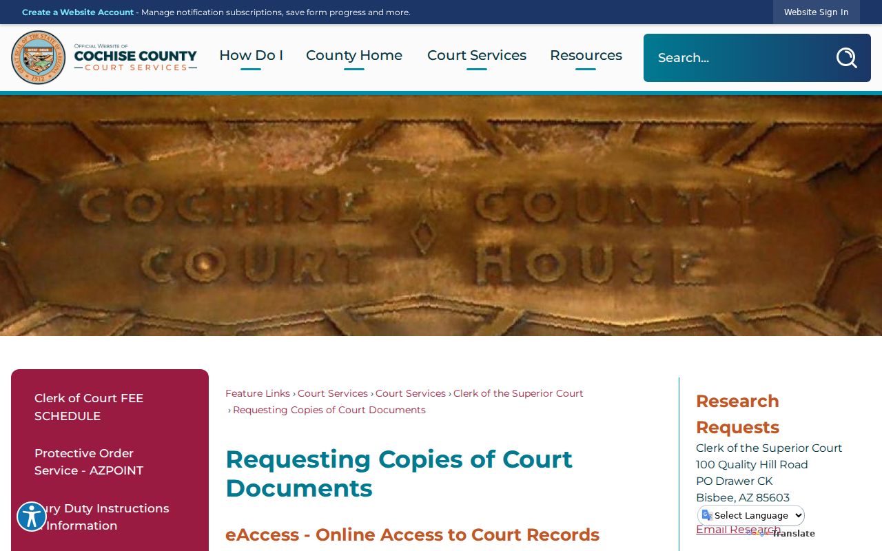
The request can identify a case number, year, filing date, parties, case type, and exact document. That degree of detail prevents a street clue from being mistaken for proof that a same-name party is tied to the parcel.
Sierra Vista Street Directory Limits
A Sierra Vista public street directory has deliberate blind spots. Parcel systems name assessment owners and mailing destinations, not every person at an address. Arizona's individual voter portal is not a household search. Full voter files have limited statutory uses, and unauthorized distribution can be a felony. DMV personal data is restricted by federal law. Utility and delivery customer lists were not verified as public sources. Sealed court cases and protected addresses remain closed.
Commercial neighbor tools may mix old, purchased, and public material. Their output can lag corrections or join two same-name people. Use official parcel, deed, permit, and clerk records for the claim each source can support. Never infer a missing house number from an adjacent parcel, and never publish a protected address.
Lawful use. Sierra Vista street records are for lawful personal, family, property, and civic research. Using address data to stalk, harass, intimidate, or harm a person is prohibited.