
Sierra Vista ZIP Coverage
Five codes appear in official USPS or Census material associated with Sierra Vista, but the evidence is not equally complete for each one. The safest ZIP code directory distinguishes verified delivery areas from codes whose exact current role still needs checking. It also keeps the Fort Huachuca postal city intact rather than forcing every address under the Sierra Vista name.
| ZIP | Local area or role | Verified postal office | Research note |
|---|---|---|---|
| 85635 | Central and north Sierra Vista, West End and Fry | Sierra Vista Post Office | Main street-delivery code |
| 85650 | Southern and eastern Sierra Vista development | Separate retail station not verified | Supported by Census and permit examples |
| 85613 | Fort Huachuca inside incorporated Sierra Vista | Fort Huachuca Post Office | Postal city remains Fort Huachuca |
| 85636 | Associated with Sierra Vista | Current role not verified | Do not assume it is box-only |
| 85671 | Associated in Census mapping | Current role not verified | Do not assume a unique institution use |
This Sierra Vista ZIP code directory is therefore a research starting point, not a claim that all five codes work the same way. An exact deliverable address should always be checked against USPS before a parcel or records search begins.
Sierra Vista ZIP 85635
Code 85635 is the clearest general Sierra Vista delivery area. Research places it across central and northern parts of the city, including the historic West End and Fry core. Its official post office is at 2300 E Fry Boulevard, with the published phone number 520-458-2540. Permit examples and postal evidence support its role as the main street-delivery code.
The official 85635 Sierra Vista Post Office listing is the manifest source for the local station view.
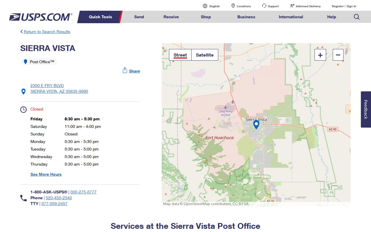
The station listing confirms the office, but a postal office page does not draw the full delivery boundary or identify residents. Use the code as a filter, then resolve parcels and names in the right county system.
Sierra Vista ZIP 85650
Official Census mapping and local permit examples place 85650 in the southern and eastern development of Sierra Vista. Canyon de Flores and De Medici examples help establish that geography. The available research did not verify a separate retail postal station, so the directory should not invent one or assign a hard neighborhood edge.
This part of Sierra Vista is more likely to appear in modern subdivision plats, assessment records, GIS, permits, and recent owner history than in the sparse early regional directory volumes. That is a source-choice clue, not a claim about each property. Search by exact address, ZIP, and parcel, then compare the returned situs with the legal subdivision.
Note: A ZIP result can span varied subdivisions, and a permit address proves work at a parcel rather than the identity of each occupant.
Fort Huachuca Inside Sierra Vista
Fort Huachuca creates the strongest local postal mismatch. Sierra Vista annexed the fort in 1971, so it sits inside the incorporated city while using ZIP 85613 and the postal city Fort Huachuca. The fort post office is at 47 Arizona Street. A search limited to the words "Sierra Vista" can therefore miss a person or record tied to a place that is legally within the city.
Military property and postal patterns can also fall outside ordinary taxable-parcel expectations. A ZIP-wide Treasurer result cannot be treated as a full count of the fort population. Search the historical or current label actually used by the record, retain Fort Huachuca as an identity clue, and recognize that federal access rules may govern material that city or county rolls do not reproduce.
Geography clue. A Fort Huachuca postal address can still be inside Sierra Vista, so postal city and municipal jurisdiction answer different questions.
Verify Sierra Vista ZIP Gaps
Codes 85636 and 85671 need an address-level check. Archived USPS sorting material and Census mapping associate 85636 with Sierra Vista, but the research did not establish that it is currently a box-only code. Census material also associates 85671 with Sierra Vista without proving that it is an active unique or nonresidential assignment. Those labels can change over time.
The correct response is not to fill the gap with a guess. Enter a real address in the official lookup, note the returned postal city and ZIP+4, and use that result on the county portal. If a historical source uses one of these codes, keep the source date because current postal status may differ. No verified Sierra Vista ZIP split or realignment year was found.
Search Sierra Vista Parcels by ZIP
The Cochise County Treasurer Situs Search is the best verified public property tool with a ZIP field.
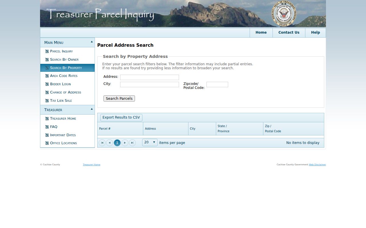
Its result rows can show parcel number, situs address, city, state, and postal code, with CSV export. Those are parcel records, not a list of every Sierra Vista resident.
- Verify one exact address through USPS. Save the postal city, ZIP, and any ZIP+4 returned.
- Enter Address, City, or Zipcode/Postal Code in Treasurer Situs Search. Use less text if an exact query fails.
- Export or note the matching parcel rows, then open the APNs in Cochise GIS to compare physical and mailing fields.
- Use city-boundary and special-district layers for jurisdiction. Do not infer city limits from the ZIP alone.
- Once the search narrows to a road, use the Sierra Vista street directory for the address-keyed record chain.
Sierra Vista ZIP Search Fields
The Treasurer tool supports partial searches and advises broader input when no match appears. That makes it useful for a postal-area workflow, but every field has a specific role. The Assessor offers rich owner and street fields without a verified ZIP box, while the configured GIS filter stores mailing ZIP in parcel data but does not expose a public ZIP filter.
| Field or control | How it works | What the result can show |
|---|---|---|
| Address | Accepts partial situs text | Matched parcel address |
| City | Narrows the situs place label | City stored on parcel record |
| Zipcode/Postal Code | Verified ZIP-wide property filter | Taxable parcels indexed under that code |
| Items per page | Changes visible result count | More or fewer matching rows |
| CSV export | Downloads the result set | Parcel, address, city, state and ZIP fields |
The portal can also expose tax years, payments, interest or fees, valuation, owner history, and split history from a selected parcel. None of those fields establishes the full household.
Sierra Vista Postal and City Lines
Postal, statistical, municipal, and land-record boundaries overlap in Sierra Vista without becoming the same thing. USPS postal codes route mail. Census ZCTAs approximate delivery areas for statistics. The incorporated boundary determines city jurisdiction. An APN and legal description identify a parcel. Situs and mailing addresses serve separate record functions. Fort Huachuca and the city-owned Fry Pioneer Cemetery in a county enclave make those differences concrete.
The USPS postal lookup is the authoritative exact-address check.
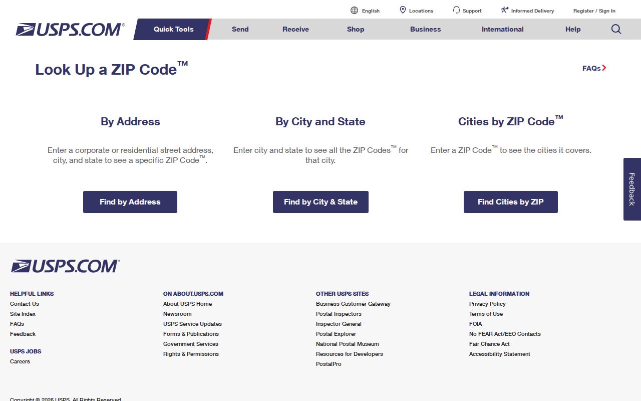
Use its postal answer before applying a ZIP filter elsewhere, then rely on the city or county map for jurisdiction.
- ZIP and ZIP+4
- A ZIP routes a broad delivery area; four added digits narrow a delivery segment.
- PO-box ZIP
- A code assigned primarily to boxes at a postal facility.
- Unique ZIP
- A code assigned to one large organization or site rather than a broad area.
- Carrier route
- A mail-delivery path within a ZIP, not a city or parcel boundary.
Read Sierra Vista ZIP Results
A Sierra Vista postal directory narrows geography; it does not turn the property roll into a population list. PO boxes, multiunit occupants, military quarters, non-owner households, and non-taxable federal land complicate any count. The parcel's owner-mailing ZIP may differ from the physical situs ZIP. That mismatch can suggest that tax mail goes elsewhere, but it does not name the person at either address.
Address administration also changes at the city line. Sierra Vista Community Development handles planning, code, and annexation inside the municipality. Cochise County Rural Addressing maintains rural road names and addresses for mail, emergency response, and public services beyond that jurisdiction, while avoiding duplicate or sound-alike road names. When a ZIP query misses a parcel, try the street without its suffix, confirm the city label, and search the APN without dashes or spaces. A subdivision, lot, block, section, township, or range description may outlast both a street label and a postal code. That legal geography is the safer bridge into the deed index.
Older searches need still more care. Sierra Vista grew from a small 1956 city and annexed Fort Huachuca later. Historic labels such as Fry, Buena, Overton, and Garden Canyon may matter more than a modern ZIP. For a deed, the legal description and APN trail are more durable than a postal string. For current mail, USPS remains the final check.
Note: Record the query date because postal assignments, parcel owners, and portal data can change on different schedules.